
| Home | Softwares | Order | Contact |
| ||||||
| b |
| |||||
XlPlan softwares | ||
| Two softwares are currently available in this web site : | ||
| Order XlPlan |
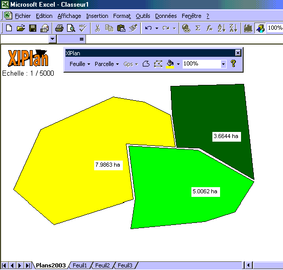 |
XlPlan for ExcelXlPlan has been especially developped to do land surveying... You can trace any parcel from a scanned plan or use rectangular (or GPS) coordinates. It is also possible to read DXF files or files from XlPlan Gps Interface. |
| You can work with this add-in in several metric and U.S. units so that it is very easy to convert metres into feet or acres into hectares. In addition to the common functions such as distance or surface measurements a specific tool helps the user to split his parcel into several sub-parcels... Only one additionnal toolbar is visible in your Excel environment :
 You can right now evaluate XlPlan. It is free ! If you do productive work with it please register on this web site. The registration fee is only 100 Euros for E.U. residents and 100 US Dollars for other countries.
Download XlPlan for Excel. | ||
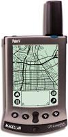 |
XlPlan Gps Interface for PalmThis Palm application is free and very simple to use. You just need a Palm handheld and a GPS receptor (Magellan, Holux...). The parcels surveyed with this equipment can be exported into Excel with XlPlan for Excel. | |
Download XlPlan Gps Interface. | ||
| Home | Softwares | Order | Contact
| ||